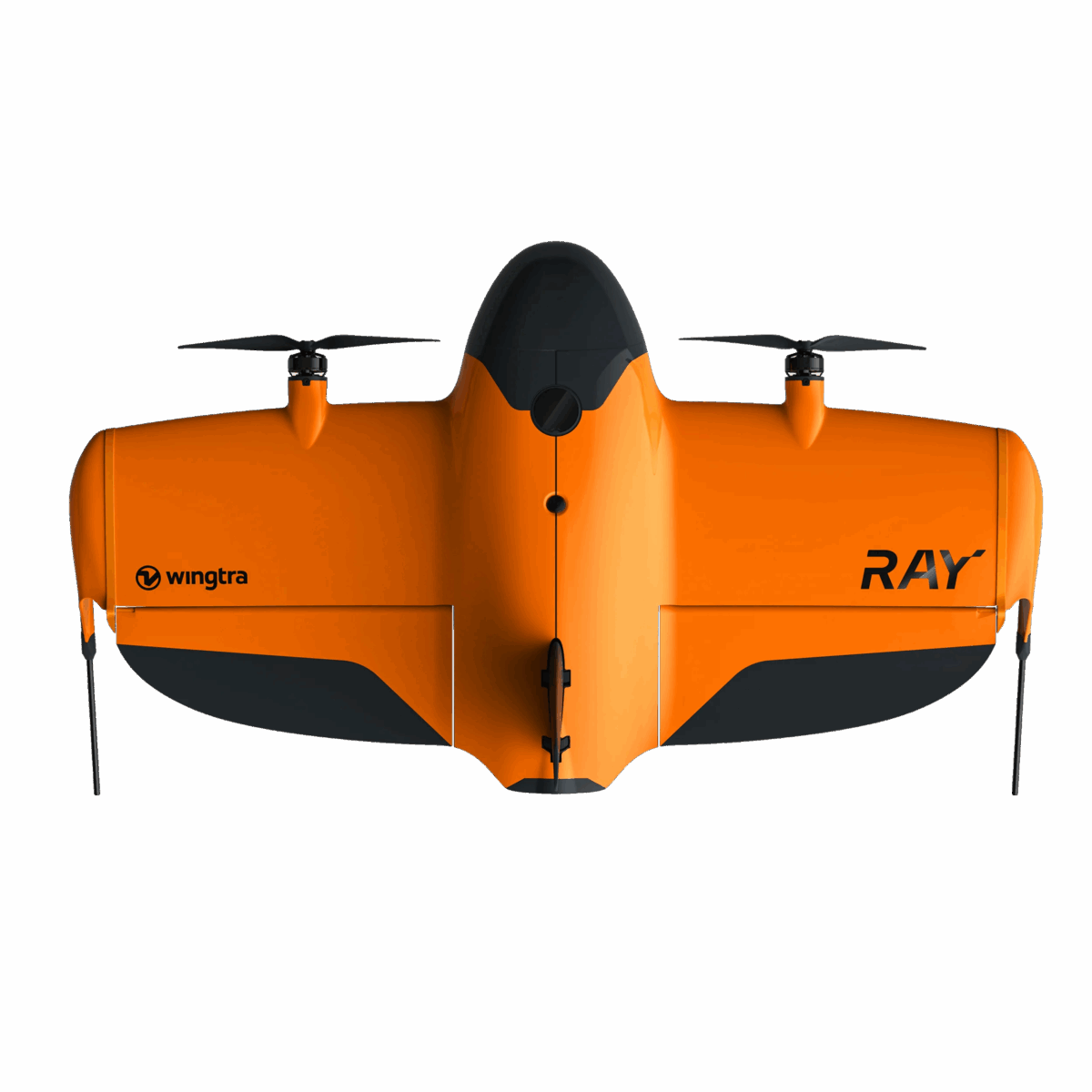
WingtraRAY is the next generation of survey drones, offering exceptional accuracy, high-speed data capture, and compliance with strict safety regulations. It allows legal operation over populated areas without the need for complex approvals. This is a complete solution for surveyors, engineers, geodesists, contractors, and government agencies seeking unmatched field reliability.
Field performance
Up to 59 minutes of flight time
Covers up to 550 hectares in a single flight
Absolute accuracy of 3 cm (RMS X, Y, Z) with PPK
10× faster than multicopter drones
30× faster than traditional ground-based methods
Dedicated and modular sensors
WingtraRAY supports six swappable sensors, adapted to a wide range of surveying and inspection tasks:
MAP61 RGB – High-resolution 61MP full-frame sensor
LIDAR – Accurate 3D scans, even through vegetation
INSPECT – For crack detection, rail measurement, and more
RedEdge-P – For agricultural and environmental monitoring
Additional payloads to be released during 2025–2026
Additional advantages
Automatic parachute system – available from November 2025
FAA Category 3 OOP certified
Enables legal flights over roads, urban areas, and infrastructure
Compliant with NDAA, Blue/Green UAS, and EASA C3 and C6 standards