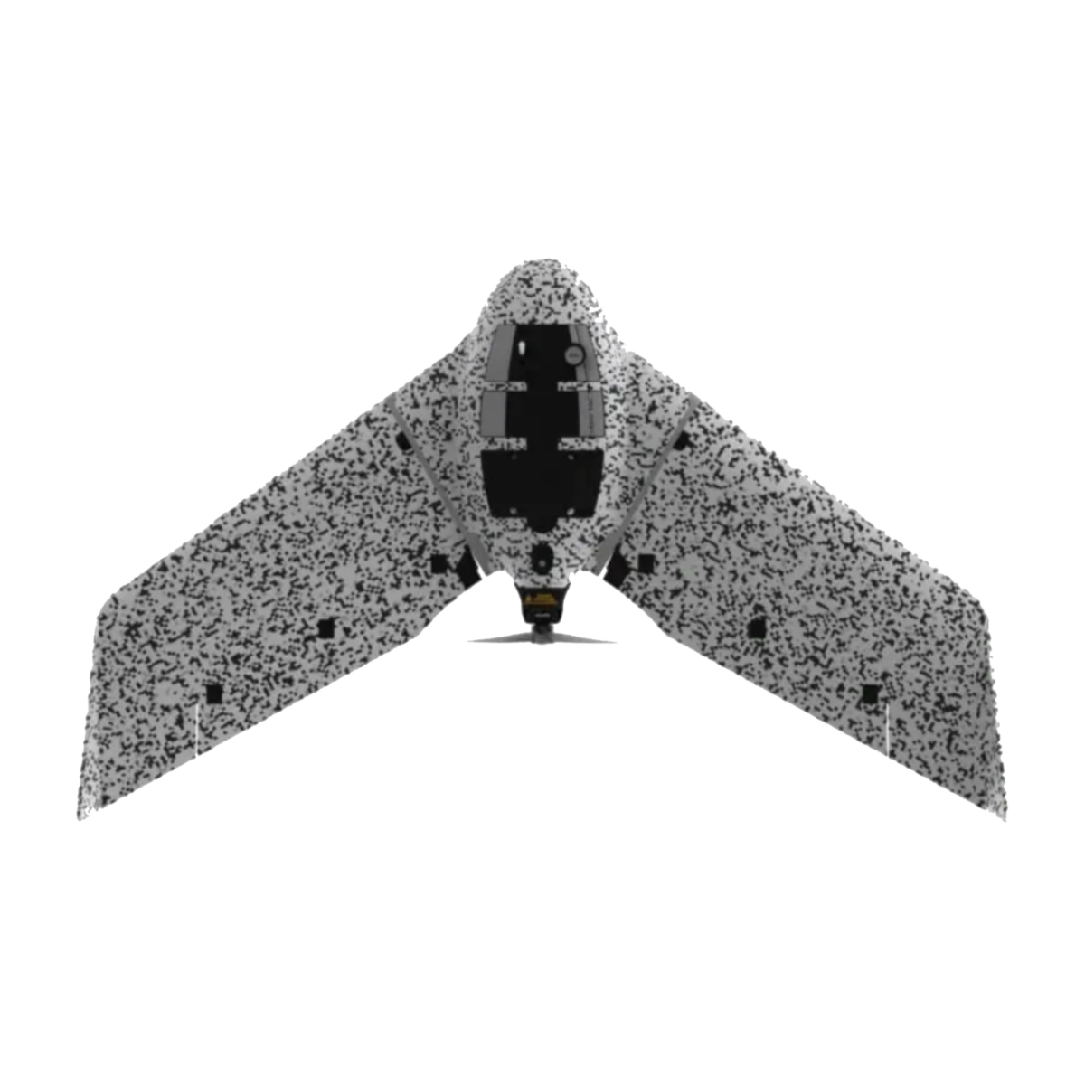
Cyber-secure governmental and tactical mapping drone
Perform in disconnected environments to act precisely. eBee TAC can be operated by one person and deployed in 3 minutes. 3D models, thermal and orthomosaics maps sharable locally.
- 1.5 cm / 0.6 in mapping accuracy
- 90 minutes flight time
- 500 ha / 1,235 ac in a single flight
- 1.6 kg / 3.5 lbs